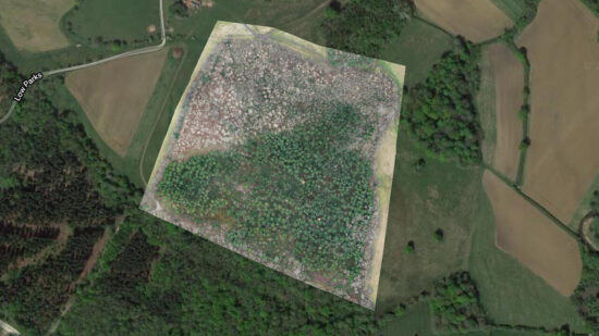
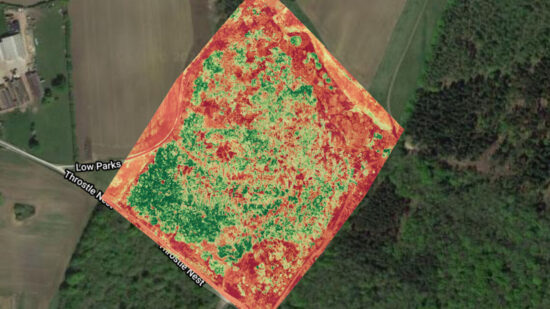
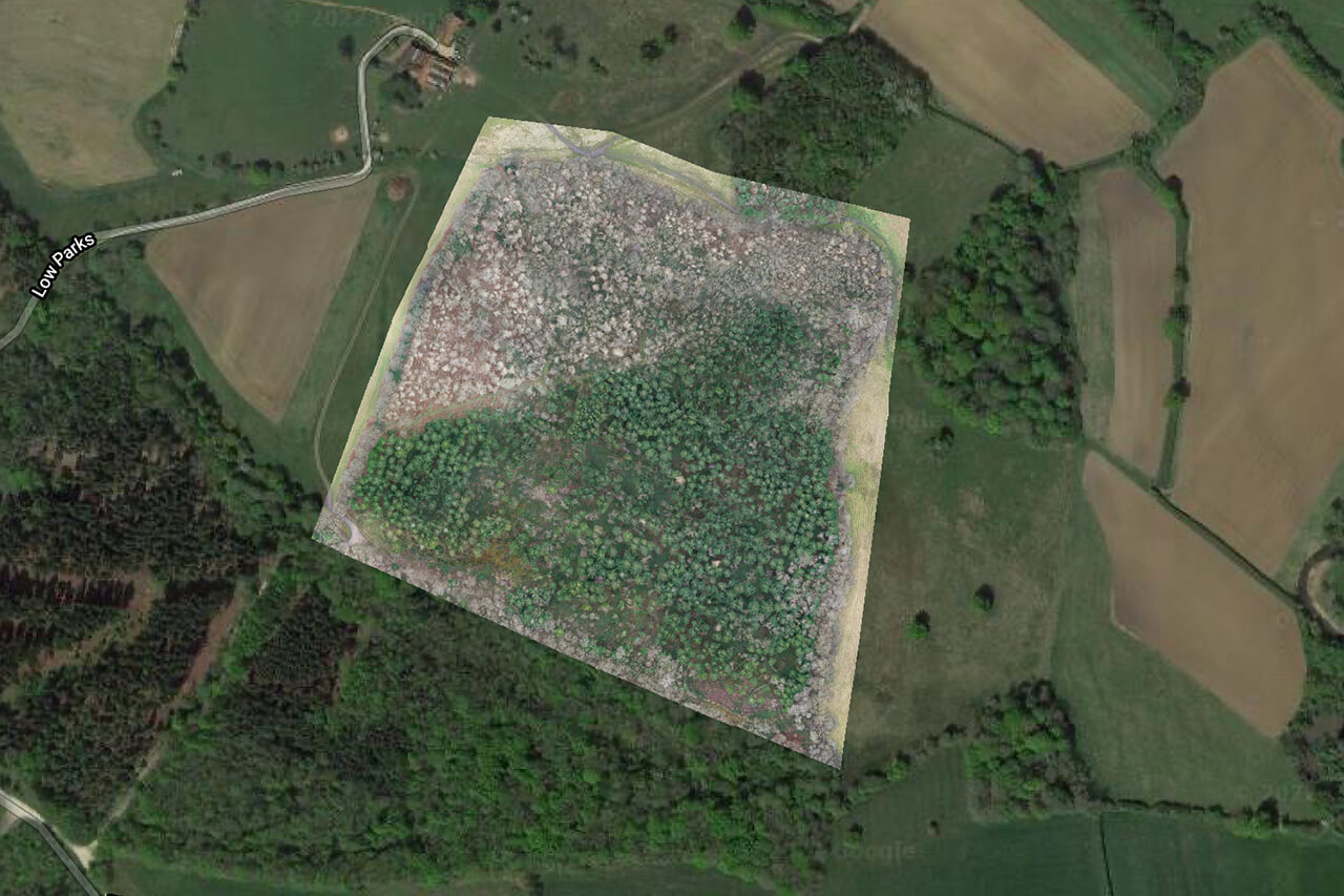
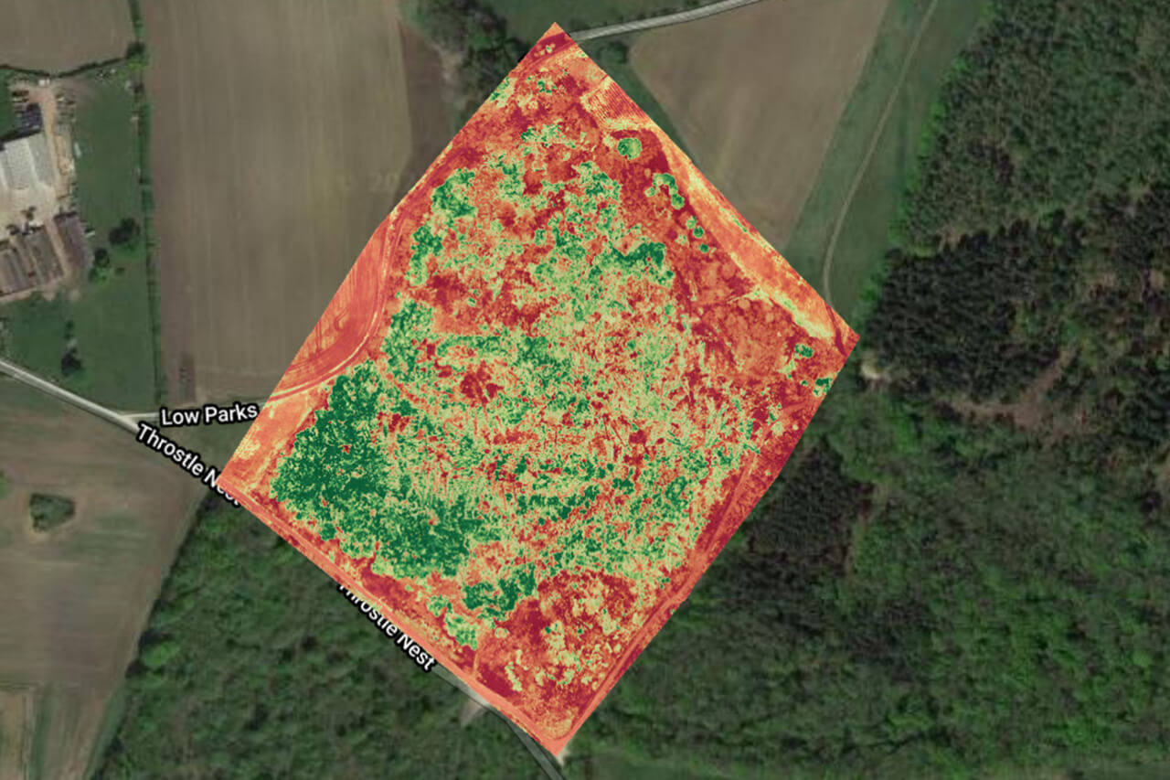
3d Mapping
Using powerful aerial phototelemetry we can produce 2D maps and 3D models that can provide highly detailed data for a surveyed area. This application has been used extensively with our clients ‘The Woodland Trust’ in managing woodland conservation sites and also in construction with our clients Hodkingson.
James is amazing! John Stamp’s video for Blowing Me Kisses is seamlessly done! Beautifully shot and edited! Excited to see whatever you do next!
LEIGH NASH
(SIXPENCE NONE THE RICHER)
(SIXPENCE NONE THE RICHER)